
Şehir Pusulası
Şehir Pusulası - Coğrafya Tahmin Oyunu. Şehirlerin coğrafya konumlarını tahmin ederek puan kazanın ve en iyi skorunuzu elde edin.

Balık tutmayı sevenler için tasarlanmış kapsamlı bir solunar balıkçılık uygulaması. Ay ve güneş konumlarına göre en iyi balık tutma zamanlarını belirleyin ve AI destekli tavsiyelerle balıkçılık deneyiminizi artırın.
Olta Vakti (Solunar) is our published mobile app designed for fishing enthusiasts across Turkey and beyond. It combines solunar theory—the science of how the moon's gravitational pull affects fish feeding activity—with real-time weather data, tide tables, and user-contributed fishing spot information into a single, easy-to-navigate interface.
The app's core feature is its hourly activity forecast: a solunar score calculated for each hour of the day, colour-coded so anglers can immediately see the best windows to be on the water. This forecast is combined with local weather overlays including wind speed, precipitation probability, and cloud cover so users can plan trips that align both biological and meteorological conditions.
Map integration allows users to save and share fishing locations, log catches with photos and notes, and browse community-contributed spots in their region. The location database grows with the user community, making the app more valuable with every new member.
Olta Vakti demonstrates our capability to build consumer mobile apps with real-time data integrations, community features, map layers, and Firebase backend infrastructure. It is a concrete portfolio reference for clients considering location-aware or outdoor activity applications.
Solunar scores calculated for each hour based on moon phase, major and minor feeding periods, and sunrise/sunset data. Colour-coded urgency scale lets anglers plan their day at a glance without needing to understand the underlying theory.
Wind speed, direction, precipitation, and temperature overlaid on the activity forecast. Users see not just when fish should be active but whether the weather will let them get on the water.
User-contributed spot database with catch logs, photos, species data, and seasonal notes. Location information improves continuously as the community grows.
Core forecasts and saved spots are available offline for anglers in remote areas with poor cellular coverage. Firebase caching ensures the app works when connectivity is not available.
Active on Google Play with real users and continuous updates. This is a working product reference, not a demo—clients evaluating our mobile development capability can download and use it themselves.
Kullanıcı akışları ve arayüz prototipi.
Native veya cross-platform kodlama.
Cihaz testleri ve performans optimizasyonu.
Store yayını ve güncelleme desteği.
Şehir Pusulası - Coğrafya Tahmin Oyunu. Şehirlerin coğrafya konumlarını tahmin ederek puan kazanın ve en iyi skorunuzu elde edin.
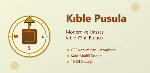
Kıble Pusula ile kıble yönünü hassas bir şekilde bulun. GPS konumunuzu kullanarak otomatik olarak kıble yönünü hesaplayan modern pusula uygulaması.

Çocuklar için Reklamsız ve güvenli bir çocuk oyunu.
İhtiyacınıza uygun çözümü birlikte planlayalım. Ücretsiz keşif görüşmesi için bize ulaşın.